Text: Philipp Reichartz
In February & March 2022, the first field phase of our new DFG-funded project HyPerm (“Spatial occurrence and hydrological significance of Andean permafrost (Agua Negra, San Juan, Argentina)”) took place. Following the aims of the research project a multi-method approach was applied including intensive field work like geophysical investigations of the subsurface, drone aerial surveys, hydrological measurements and geomorphological mapping.
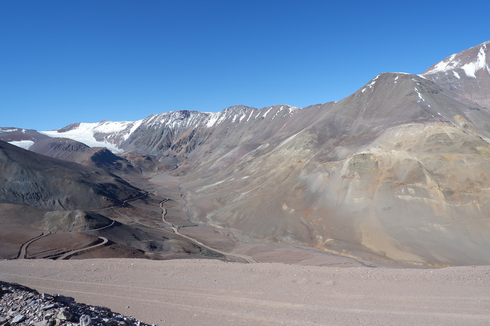
After completing organizational and preparatory tasks in Mendoza the group consisting of Lothar Schrott (project leader and head of the research group), three PhD-students (Melanie Stammler, Agostina Ortiz & Tamara Köhler), a laboratory assistant (Gabriele Kraus) and three student assistants (Till Wenzel, Fabian Flöck & Philipp Reichartz), headed North to their new home for the next 45 days - a mountain cabin maintained by the Club Andino Mercedario (see Fig. 1 below), located at about 2800 m a.s.l. The first few days were spent getting to know the study area and acclimatizing to the partly extreme altitudes of more than 4800 m a.s.l. This included geomorphological mapping of present (cryospheric) landforms and photographic documentation of the entire upper catchment area.
For the following 1 ½ months towards the end of austral summer, extensive field work was conducted. Geophysical measurements, namely Electrical Resistivity Tomography (ERT) and Seismic Refraction Tomography (SRT) were performed on numerous blockslopes and taluses above 4000 m a.s.l. Soil moisture and temperature loggers were installed at multiple locations in depths of 20 to 100 cm to gather information about the thermal regime of the active layer. The data will also be used for validation of the ERT and SRT measurements. Several drone flights were performed with a DJI Phantom 4 RTK drone (see Fig. 2). Flights were conducted in the proglacial field of the Agua Negra Glacier as well as on the Dos Lenguas and El Paso rock glaciers (see Fig. 3). The locations of the geophysical profiles as well as the Ground Control Points (GCPs) for the drone surveys were measured with a Differential GPS. For the hydrological part, six gauging stations (see Fig. 4) were installed along the course of the Agua Negra river. To obtain information not only on the water level but also the corresponding discharge, salt tracer measurements were performed on all gauging stations throughout the entire field phase. In addition, 38 water samples were taken at different locations in the catchment to capture the hydrogeochemical footprint of different runoff contributors and alterations along the flow path. Finally, a climate station was installed in the upper catchment which measures air temperature and humidity, soil temperature, precipitation and solar radiation. The station will provide valuable input and cross-checking values for comparison with local weather stations as well as satellite data.
What happens after the field phase?
The group returned to Germany at the end of March. The collected data are being processed since then and first results were presented at EGU in May 2022 in Vienna. Some of the data is currently being processed and interpreted in bachelor and master theses. The results of the geophysical data, geomorphological mapping, and drone surveys will be made available through publications. The results of the next field phase will be crucial for the analysis of the hydrological data. Initial preparations for the second field phase, scheduled for November 2022 to February 2023, have already started. Among other things, a Ground Penetrating Radar will be brought to Argentina to complement the ERT and SRT measurements. In addition, on-site cooperation is planned with the Ruhr-University-Bochum and the Karlsruhe Institute of Technology, whose project proposal is currently being reviewed by the DFG.


